We use cookies to make your experience better. To comply with the new e-Privacy directive, we need to ask for your consent to set the cookies. Learn more.
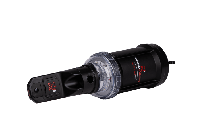
RV-MAX 360S Inspection Camera
In stock
SKU
RV-MAX 360S Inspection Camera
$9,999.00
Thinner. Sharper. Ruggedized. Capture complete 360° inspections, measurement-ready 3D models and live depth readings—all while keeping operators safely above ground.
The RV-MAX 360S is an advanced panoramic inspection system for manholes, sewer infrastructure and confined spaces. Utilities, public works departments and contractors can collect detailed visual and measurement data from above ground, then review every angle back at the office.
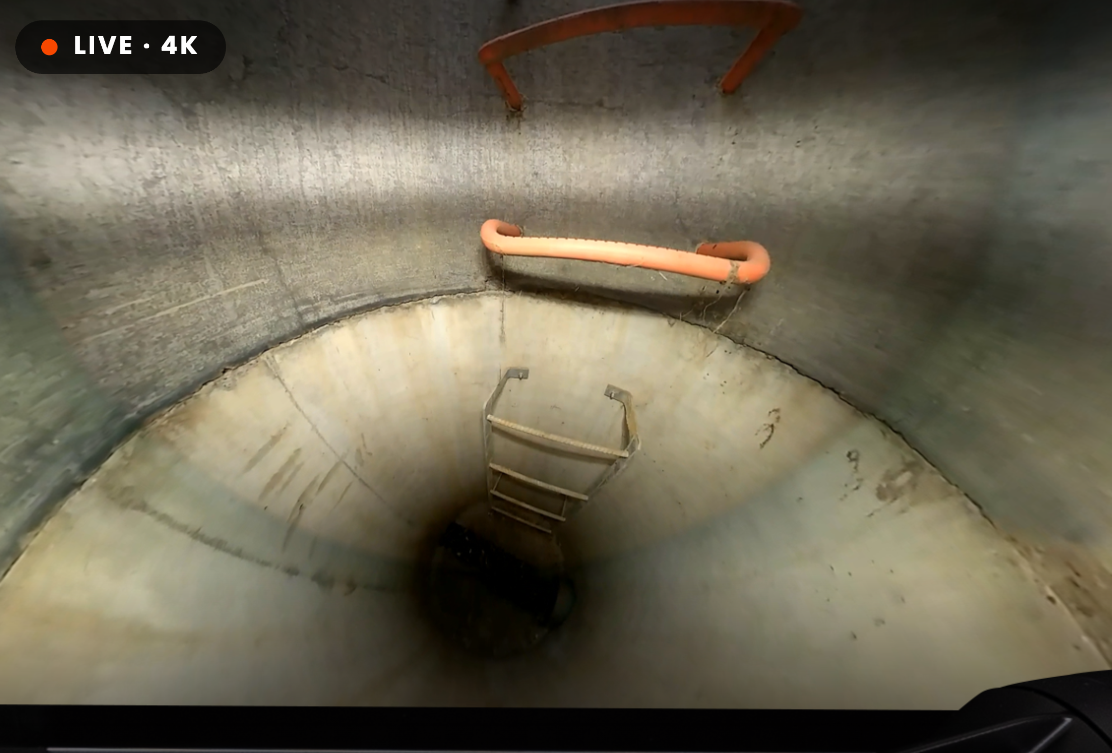
Record a complete panoramic view in 4K with an 8.1-megapixel imaging system. Crews can look in every direction during live viewing or revisit any angle in the saved survey.
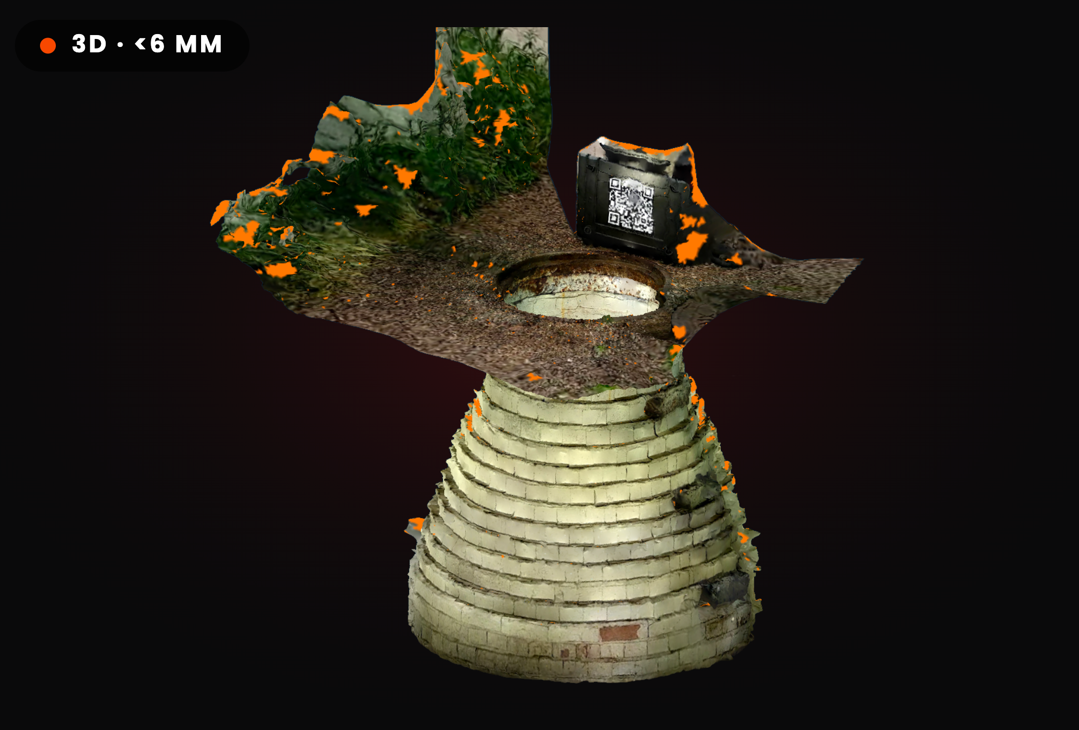
Create textured, measurement-ready 3D models with precision of less than 6 mm—under one-quarter inch. Review infrastructure dimensions later without sending a crew back to the site.
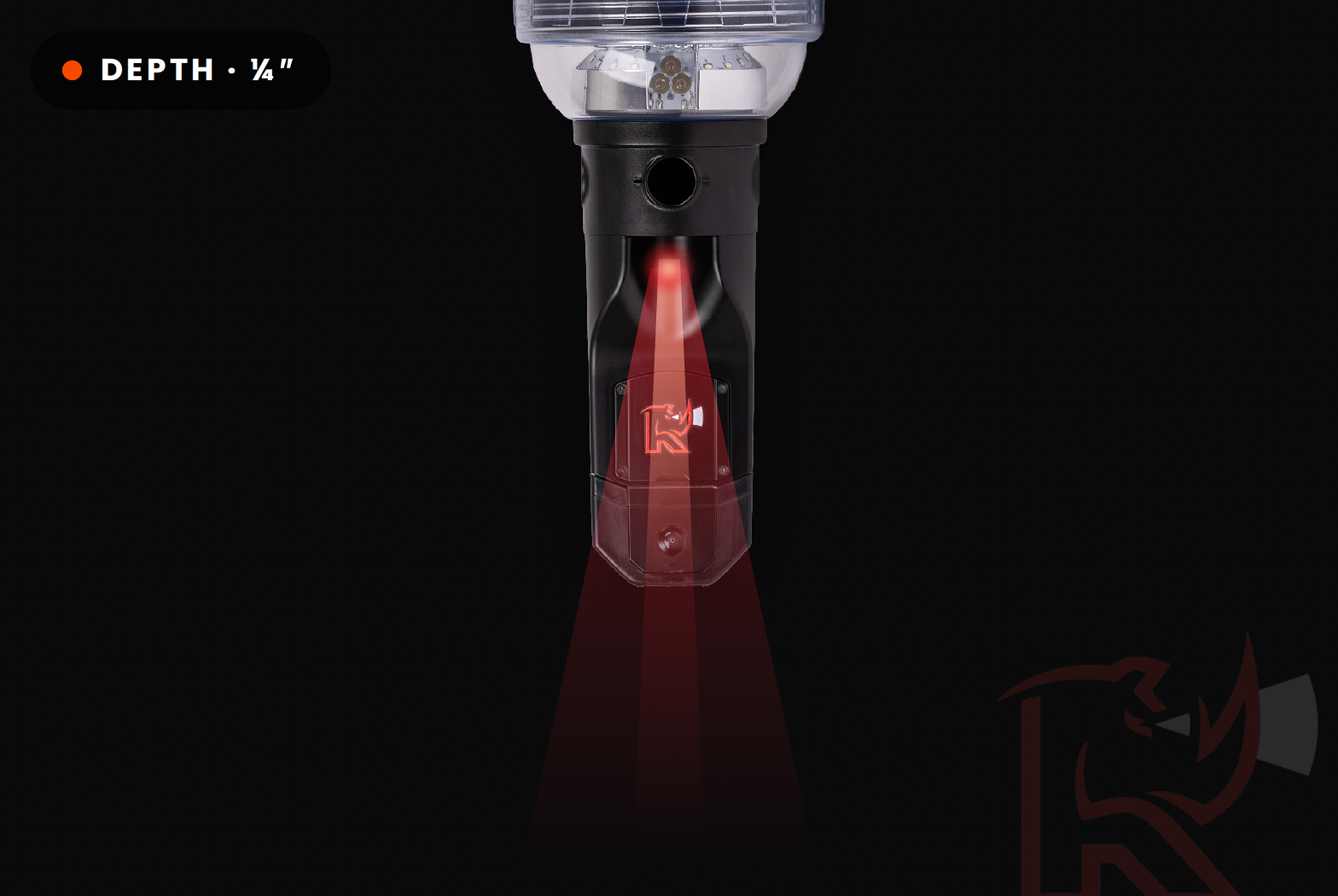
Pull depth readings directly from the live feed while working in the field. The recorded survey can also be measured later from its 3D model, giving operators and engineers more flexibility.
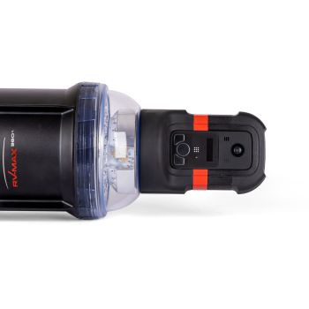
A slimmer camera head helps center the optics for a cleaner, lower-distortion panoramic image—so crews see defects instead of blur.
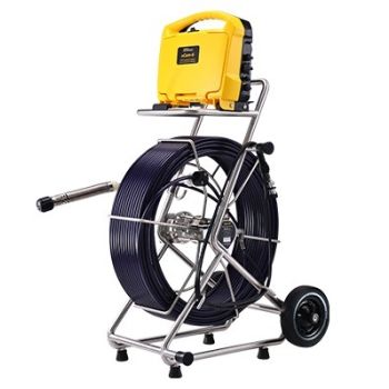
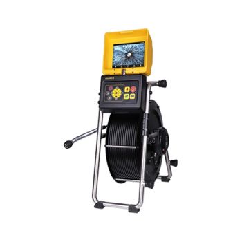
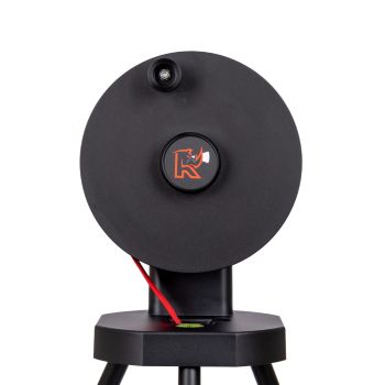
The camera, lighting, deployment hardware and connected software work together as one streamlined inspection platform.
8.1 MP panoramic video, live depth finder, IP68 enclosure and integrated impact protection.
6,600 lumens, six selectable modes and an additional spotlight for side pipes.
Textured, measurable models with less than 6 mm precision and open PLY exports.
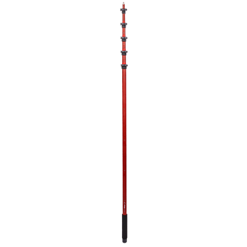
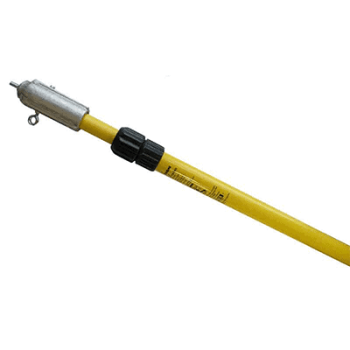
Electrically insulated fiberglass construction and an anti-rotation profile.
Corrosion-resistant aluminum with telescoping legs and a marked lowering strap.
Automatic transfer, remote viewing, fleet mapping and inspection management.
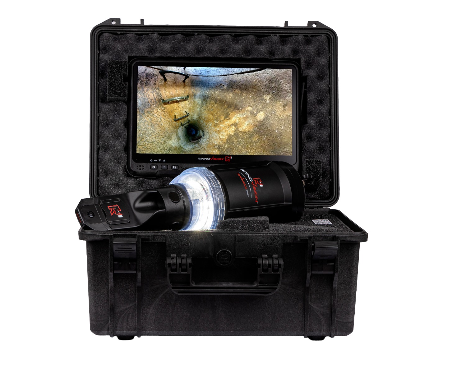
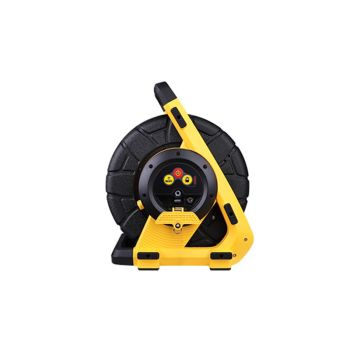
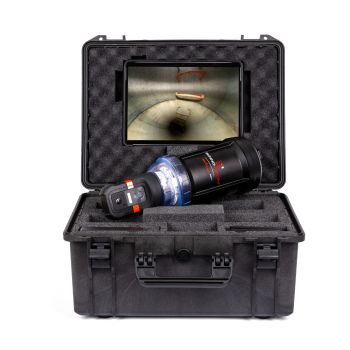
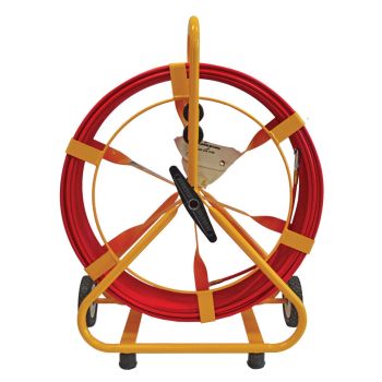
The system travels securely and stays organized for fast deployment.
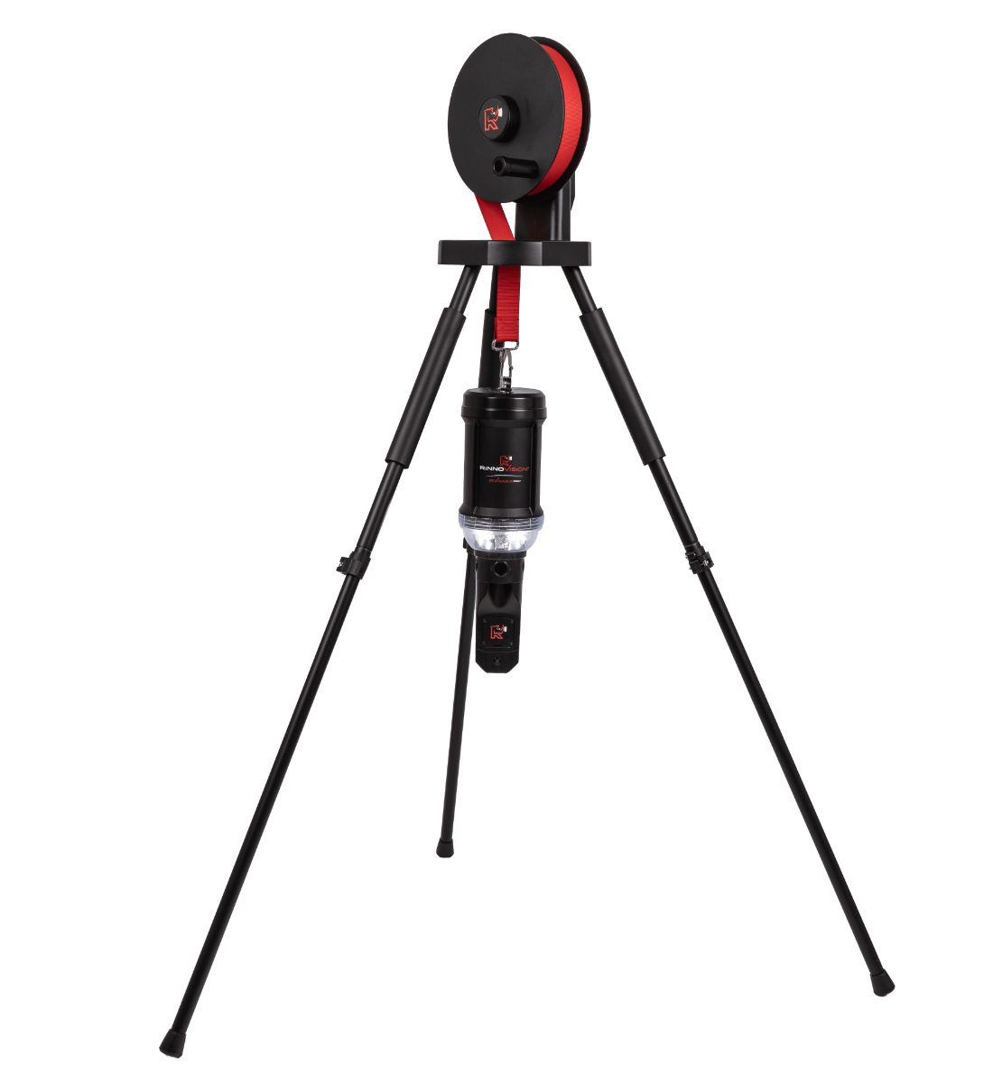
Lower the camera safely into manholes and other vertical structures.
Connect field inspections with office review, reporting and fleet management. Surveys can upload automatically when the system finds a known Wi-Fi network.
Move footage and point clouds into NASSCO or non-NASSCO storage without manually shuttling files.
Authorized supervisors can view live 360° video and collaborate with crews remotely.
Use embedded GPS and cellular connectivity for mapping, configuration and utilization reporting.
The 360S is the higher-end choice for organizations that need precise 3D measurements and live depth information.
| Feature | RV-MAX 360 | RV-MAX 360S |
|---|---|---|
| 360° video | 4K | 4K / 8.1 MP |
| Lighting | 6,600 lm / 6 modes | 6,600 lm / 6 modes |
| 3D precision | Standard workflow | Less than 6 mm |
| Live depth measurement | No | Yes |
| Camera-head design | Original | Slimmer design |
| Protection | IP68 | IP68; tested 6 ft / 1 hr |
| Software | RinnoView + RinnoCloud | RinnoView + RinnoCloud |
Inspect manholes, catch basins, stormwater assets and aqueduct-related spaces.
Document bridges, elevator shafts, storage tanks and utility structures.
Examine silos, furnaces, tanks and smokestacks while reducing confined-space entry.
Inspect mine shafts, crushers and enclosed assets with less operational disruption.
Capture panoramic records inside cargo spaces, cofferdams and boilers.
Create repeatable visual and measurement records for maintenance planning.
Intermountain Sales provides demonstrations, operator guidance and continued support throughout Colorado, Utah, Wyoming, Montana and Idaho. Financing is available through National Commercial Capital.
Request a Quote or DemonstrationRinnoVision specifies precision of less than 6 mm, or less than one-quarter inch.
Yes. Operators can take depth readings from the live feed and measure the recorded model later.
It carries an IP68 rating and has been tested underwater at 6 feet for one hour.
Yes. Its measurement-ready models support NASSCO and MACP Level 2 workflows.
Yes. Request a quote or call (303) 762-1070 to discuss a demonstration and operator support.
Choosing the appropriate frequency is crucial when identifying underground utilities. Factors such as the utility’s depth, size, material, and the level of congestion (closeness to other utilities) all play a role in determining the right frequency. Larger diameter pipes that are directly buried, like those used for water or gas, often have bell housing ends with insulators and rubber gaskets, and thus require a higher frequency. On the other hand, smaller diameter utilities that are well-grounded, directly buried, or span long distances in conduits, function better with a lower frequency.
The VM-810 operates at a frequency of 83.1kHz, making it suitable for locating water and gas utilities, which typically involve larger pipes with bell housings and gaskets. The higher frequency of the VM-810 is also effective for detecting ungrounded small diameter drop wires and for inducing signals through the soil onto services when direct connection is not feasible.
The Distance Sensitive Left/Right Guidance TM
This feature of the VM-810 allows the locator to determine which antenna is receiving the strongest signal, thereby indicating the direction to move to be directly above the buried line.



Validate your login