

 Watch it work


ArcGIS Enterprise
Connect VMMap Pro to your ArcGIS Enterprise so locates land directly in the feature services your GIS team manages as the system of record.
RTK GNSS · Survey-Grade Locating & Mapping
Walk the line once. Locate the buried utility and capture survey-grade GPS in the very same step — one crew, one tool, no second pass with a separate GPS rover.
The industry's first all-in-one utility locator with built-in RTK GNSS — centimeter-accurate mapping that drops a GIS-ready point with every locate, straight from Vivax-Metrotech.

What is the vLoc3-RTK-Pro
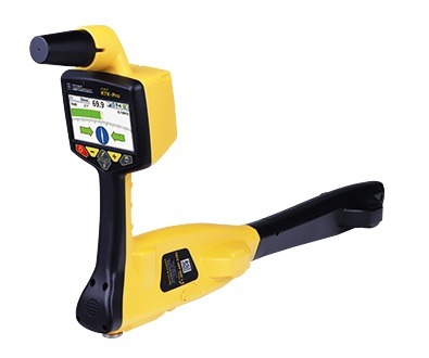
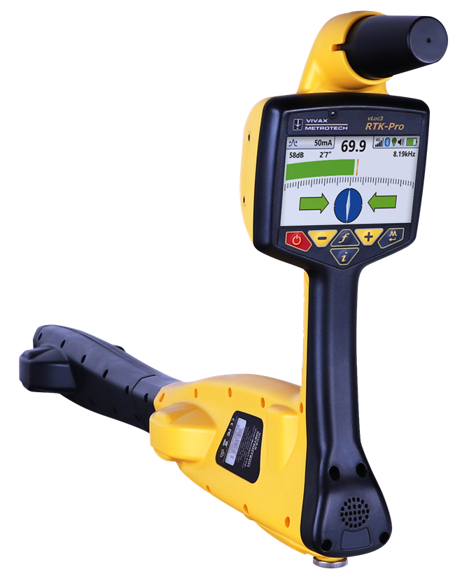
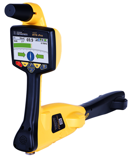
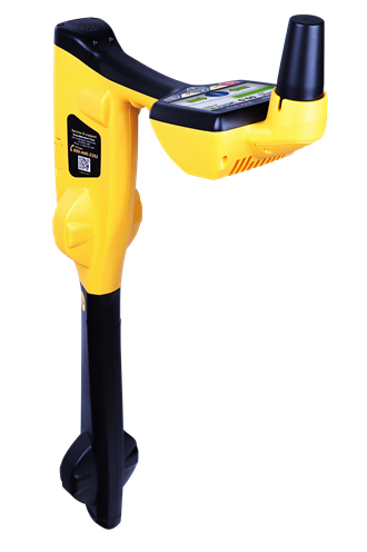
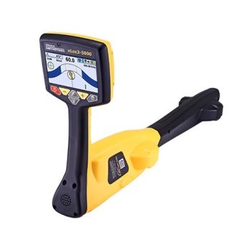
The Vivax-Metrotech vLoc3-RTK-Pro is the first utility line locator to build RTK GNSS straight into the receiver. Locate water, sewer, gas, electric, and telecom lines with multi-frequency electromagnetic locating — and capture centimeter-accurate, GIS-ready coordinates at the same time.
Using its internal 4G LTE cellular module, the receiver connects to an NTRIP RTK caster for RTCM 3 corrections, so a locate technician produces survey-grade utility maps minutes after arriving on site. No bulky external rover. No second crew. No office post-processing.
One crew, one tool, one pass
For years, survey-grade utility mapping meant a hodgepodge of gear and a second trip. The RTK-Pro collapses it into a single walk.
ESRI / ArcGIS integration
Vivax-Metrotech is an Esri partner, and VMMap Pro connects straight into your ArcGIS environment. The points and lines your crews capture flow into the same system your GIS team already runs — no rebuilding anything around the tool.
Connect VMMap Pro to your ArcGIS Enterprise so locates land directly in the feature services your GIS team manages as the system of record.
Publish and share captured utility data through your organization's Portal for ArcGIS.
VM Cloud Sync for ArcGIS pushes locates to your ArcGIS Online account and into apps like ArcGIS Field Maps for real-time viewing.
Configured in VMMap Pro
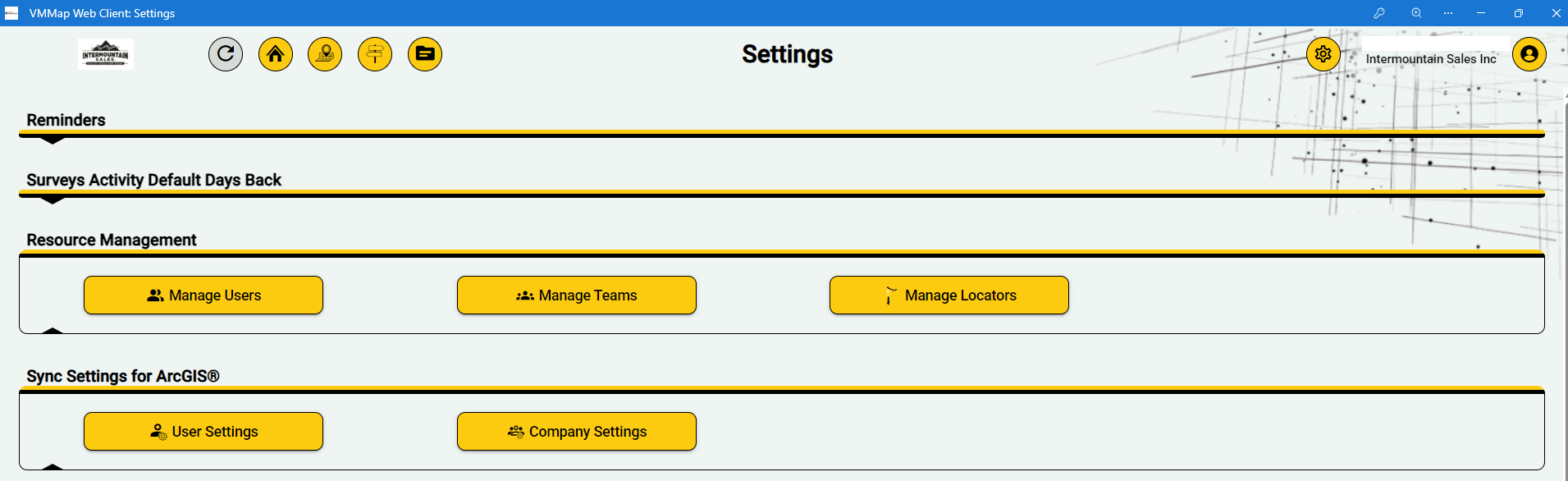
Your company Administrator points VMMap Pro at your ArcGIS Enterprise right from the account settings. After that, every locate your crews capture is routed to the right feature service automatically — no exports to babysit, no middleman, no re-keying data.
 Vivax-Metrotech is an Esri Partner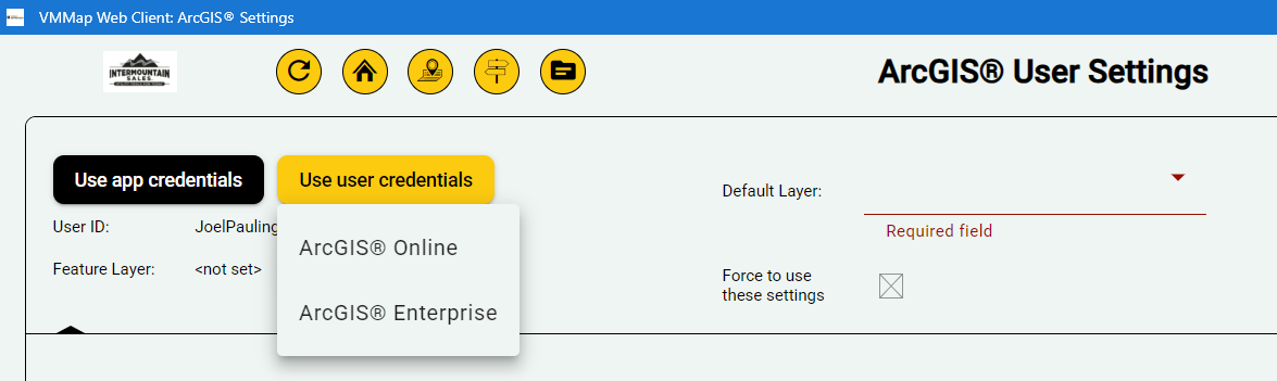
VMMap Pro app
Every vLoc3-RTK-Pro comes with VMMap Pro — Vivax-Metrotech's utility mapping app and cloud web portal. It's free, and it scales: build multi-user accounts with Teams, give each Team an Administrator, and set app permissions per role, all controlled by your company Administrator inside VMMap Pro.
Locates sync from the field to the cloud in real time, where you can view, merge, filter, and export them. Export to the formats your other software actually uses:
Field sketches & reports
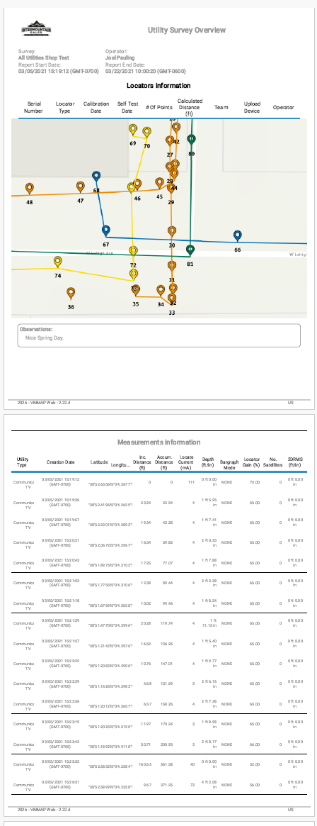
As you locate, VMMap Pro is already building the picture. On the spot, the points and lines you capture become a clean field sketch — and a complete, shareable report with the map and full measurement log together. No trip back to the office to draw it up.
Your data, your way

Specify the source datum the receiver outputs — WGS84, ETRS89, ITRF and more — so coordinates land in the reference frame your records already use.

RTK corrections are applied live in the field. Data is survey-grade the moment it's captured — nothing to reprocess back at the office.

Built to match the dataset and workflow you already run, then export to GIS, CAD, or mapping software without reformatting your world.
Connectivity

Compatible with any caster outputting RTCM 3.x messages (MSM4–7). Use the correction network you already subscribe to, anywhere you work.
An internal 4G LTE module connects the receiver to your NTRIP network on its own - corrections flow straight in, with no extra hardware to carry.

The vLoc3-RTK-Pro is Wi-Fi enabled, so it tethers straight to your phone's hotspot and pulls RTK corrections from any NTRIP network - no extra SIM, no second data plan, no spare device to babysit. The phone your crew already carries becomes the link to centimeter accuracy.
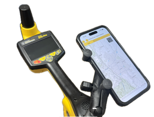
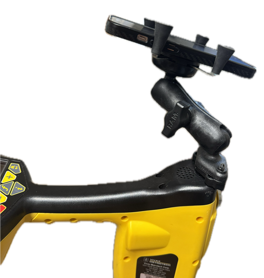
A RAM mount keeps the phone — your NTRIP hotspot — locked to the receiver and in clear view while you work.

Locating built for experts
Survey-grade mapping is only as good as the locate beneath it. The RTK-Pro rides on the proven vLoc3 platform — eight passive modes, fault-find, Signal Direction (SD), and configurable frequencies from 16 Hz to 200 kHz.
A vLoc3-RTK-Pro is a serious investment — so it has serious anti-theft backing. If a receiver is stolen, report it and Vivax-Metrotech can remotely lock the device, and display the owner's phone number on screen when the thief tries to power it on. A locked, identified receiver is worthless to a thief — and findable for you.
“A vLoc3-RTK-Pro was stolen out of our work truck. It was reported, locked remotely, and we got the unit back.”
— Josh Allen, Diversified Underground
Backed by Intermountain Sales
Hardware this capable deserves people who know how to run it. We don't just ship a box.

On-site and remote training comes with your purchase — your crew is productive and confident from day one, not left with a manual.

Decades of real-world utility locating expertise behind the phone — NTRIP setup, datum questions, VMMap Pro, and ArcGIS sync.

Serving utility owners and locating professionals across Colorado, Utah, Wyoming, Montana, and Idaho from offices in Englewood, CO and Taylorsville, UT.
See it in action
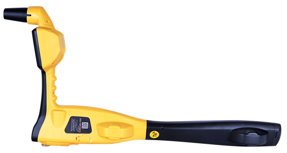
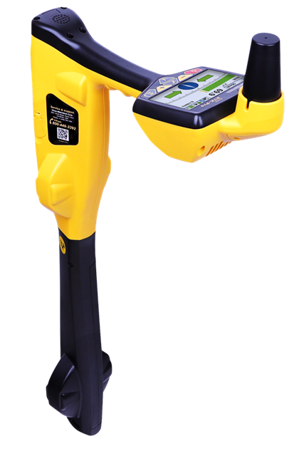
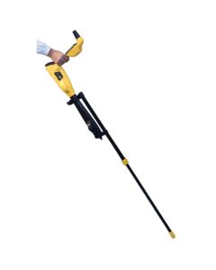
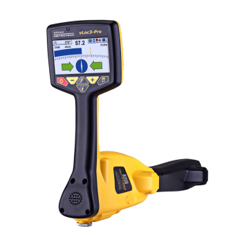
The receiver
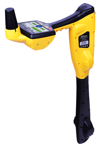
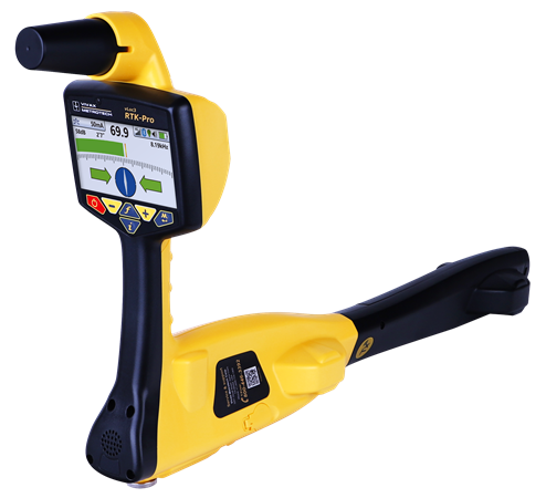
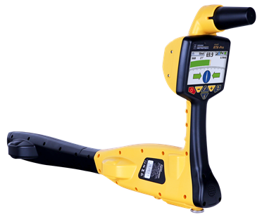
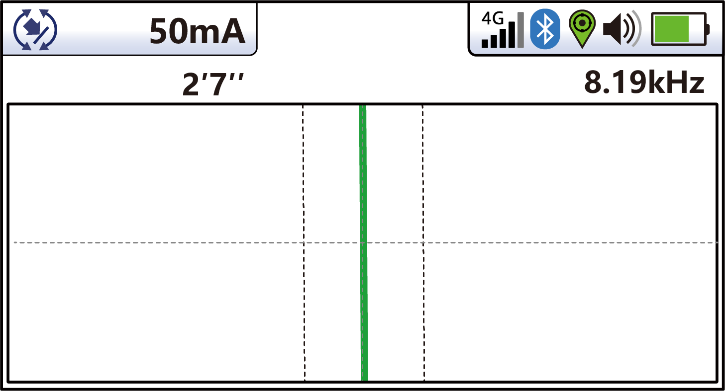
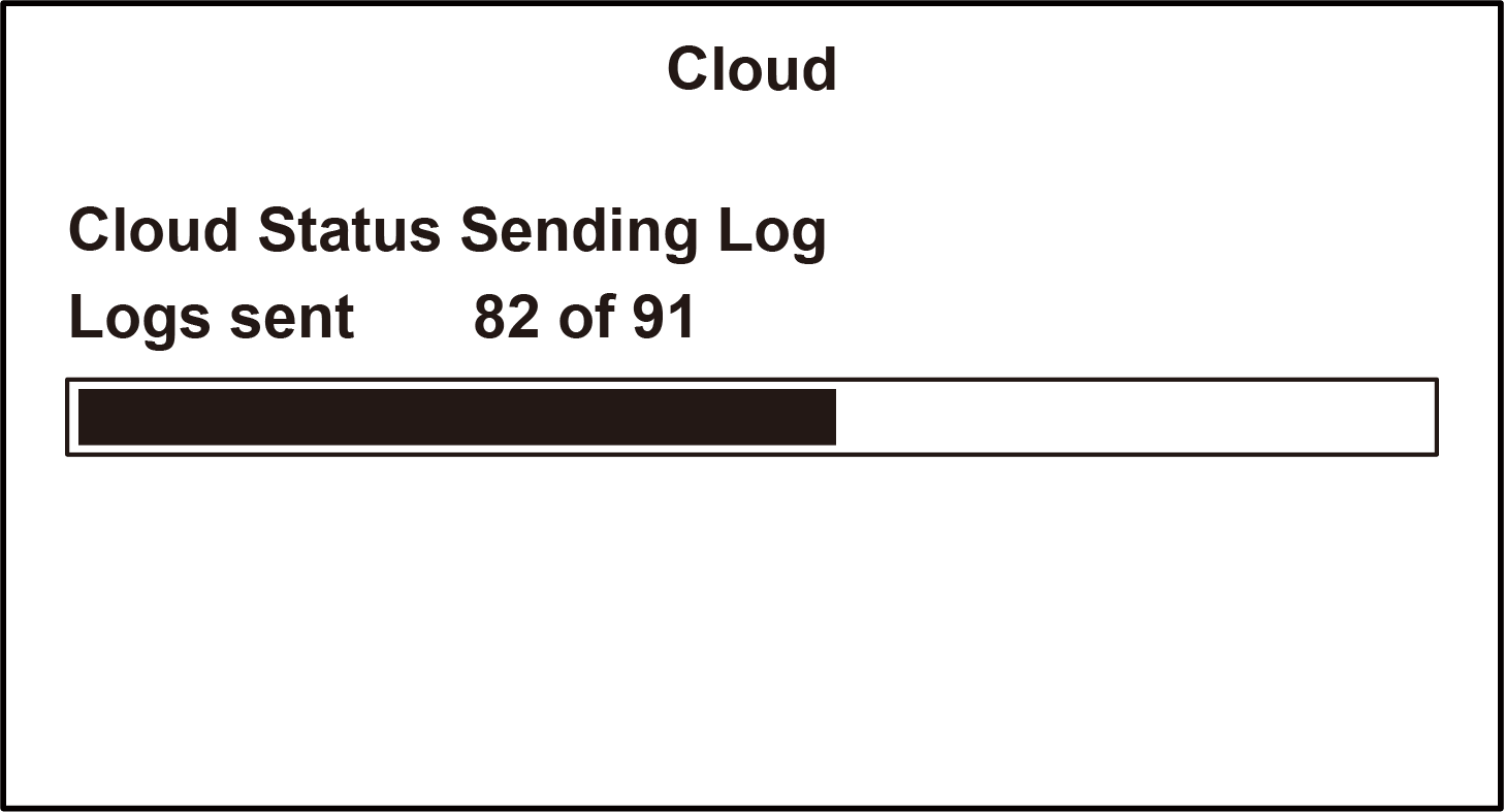
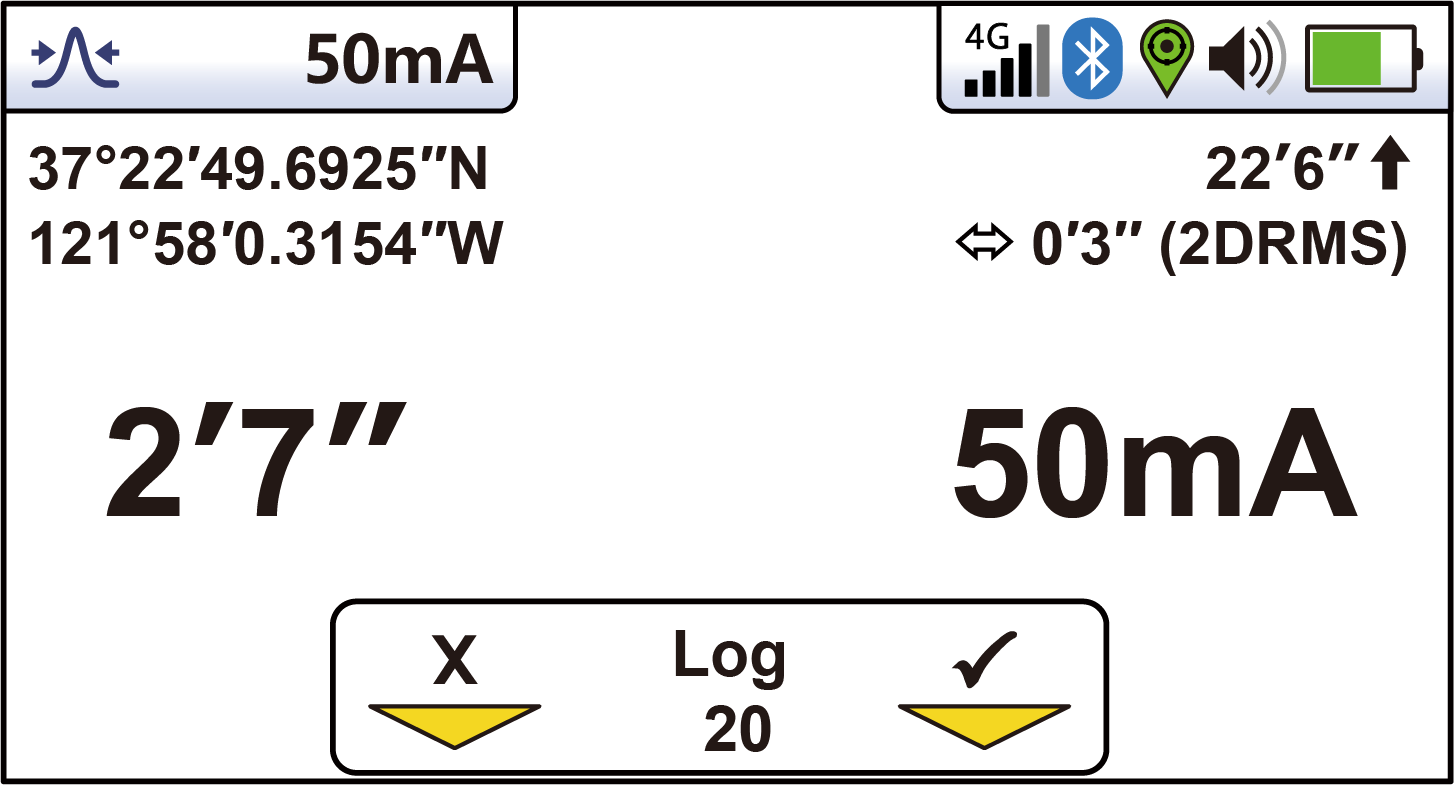
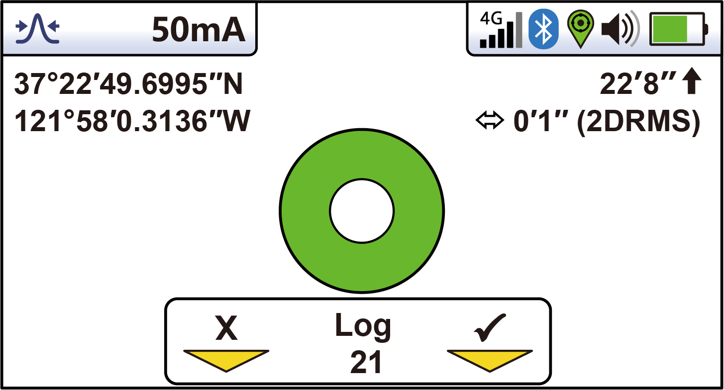
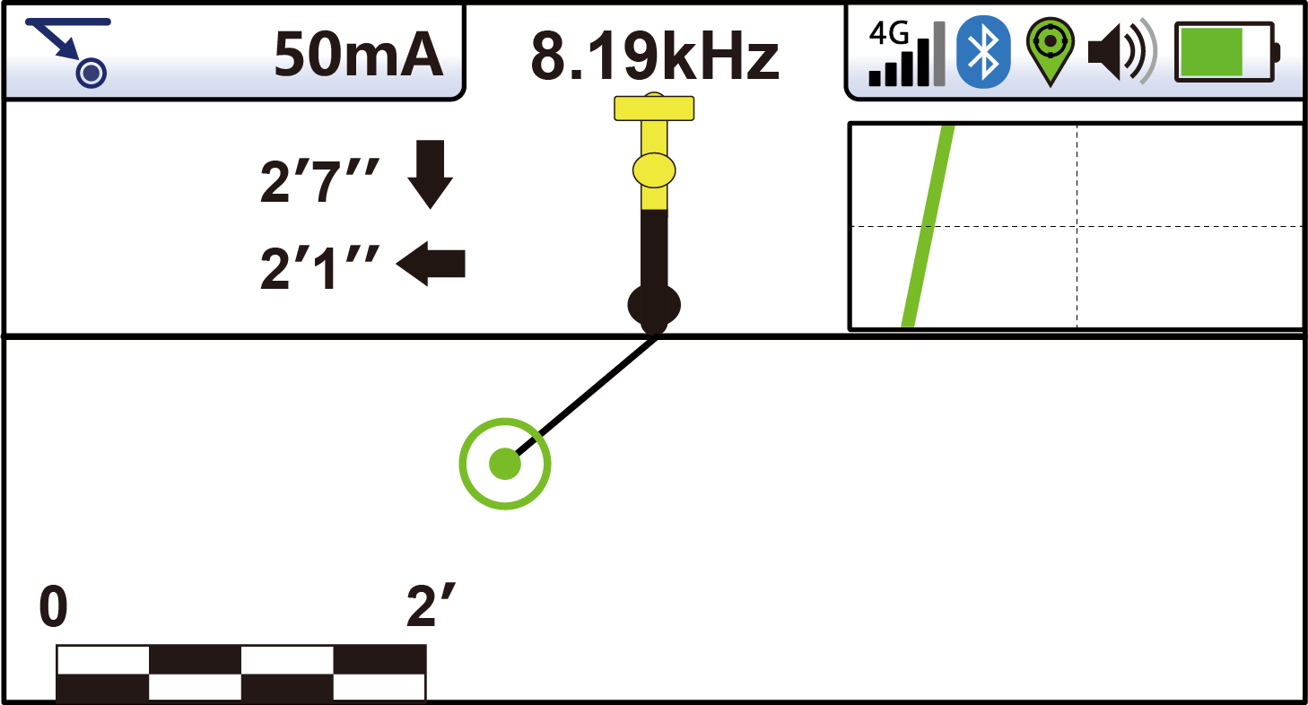
On-screen display
Watch
Get the app
Multi-user Teams, role-based permissions, real-time cloud sync, and export to SHP, CSV, TXT, KML and DXF.
Documentation
Sales Sheet
Quick Guide
Owner's Manual
Technical Specifications
Applications
Questions
The vLoc3-RTK-Pro is a survey-grade utility locator from Vivax-Metrotech with RTK GNSS built into the receiver. It locates buried water, sewer, gas, electric, and telecom lines with multi-frequency electromagnetic locating while capturing centimeter-accurate, GIS-ready GPS coordinates in the same step.
With RTK corrections, the receiver delivers position accuracy of 0.01 m + 1 ppm CEP, tracking GPS, GLONASS, Galileo, BeiDou, QZSS and SBAS constellations, with RTK convergence in under 10 seconds.
Yes. Vivax-Metrotech is an Esri partner. Field data syncs to ArcGIS Online (and apps like ArcGIS Field Maps) and can be matched to ArcGIS Enterprise feature services and shared through ArcGIS Portal, so locates land directly in the GIS you already run.
VMMap Pro exports to Shapefile (.shp), CSV (.csv), text (.txt), KML (.kml), and AutoCAD DXF (.dxf) for use with GIS, CAD, and mapping software.
No post-processing is required - RTK corrections are applied live in the field, so data is survey-grade the moment it is captured. You can specify the datum the receiver outputs (such as WGS84, ETRS89, or ITRF) so coordinates match the reference frame your records use.
Yes. The receiver is compatible with any NTRIP caster outputting RTCM 3.x correction messages (MSM4-7). It connects through its built-in 4G LTE module, or - because it is Wi-Fi enabled - by tethering to your phone's hotspot, so you can reach your correction network without a separate SIM or data plan.
VMMap Pro accounts are free and included with the receiver. Accounts can be multi-user with Teams, each Team can have an Administrator, and app permissions can be set by role by your company Administrator inside VMMap Pro.
If a receiver is reported stolen, Vivax-Metrotech can remotely lock the device and display the owner's phone number on screen when someone tries to power it on, making a stolen unit useless to a thief and recoverable for you.
Yes. Intermountain Sales includes on-site and remote field training with purchase and provides ongoing technical support, from NTRIP and datum setup to VMMap Pro and ArcGIS sync.
Intermountain Sales, the oldest Vivax-Metrotech distributor in the United States, serves utility owners and locating professionals across Colorado, Utah, Wyoming, Montana, and Idaho. Call (303) 762-1070 to request a quote or demo.
Related products
Broadband digital signal-processing locator.
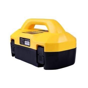
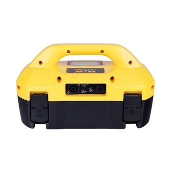
High-power broadband signal transmitter.
The locating platform the RTK-Pro is built on.
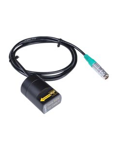
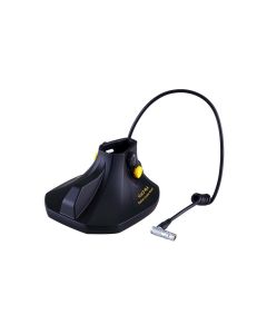
External GNSS option for vLoc3 receivers.
Accessories
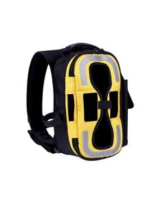
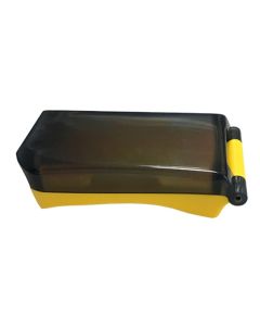
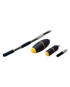
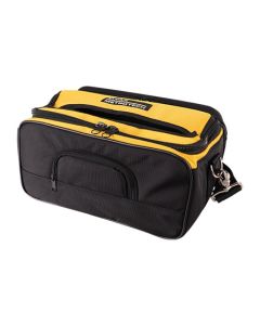
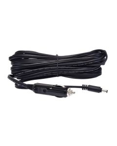
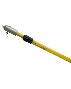
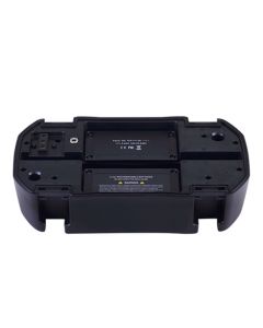
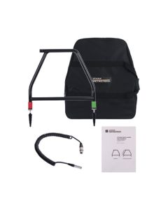
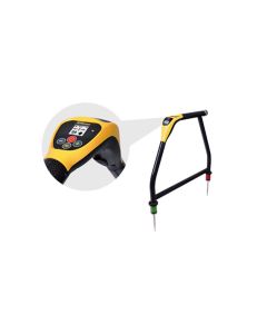
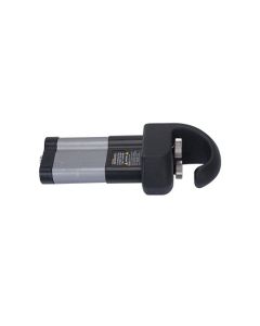
Everything to outfit your locating system — transmitters and clamps, sondes, bags and backpacks, extension rods, fault locators and more.
Request a quote or schedule a demo, and we'll show you the vLoc3-RTK-Pro capturing survey-grade points against a live NTRIP network.
Call (303) 762-1070
The vLoc3-RTK-Pro Receiver from VIVAX-Metrotech is a survey-grade utility line locator designed for utility owners and municipalities that require accurate locating, depth measurement, and real-time GPS mapping in one powerful system.
Built for water, sewer, gas, electric, and telecom utilities, the vLoc3-RTK-Pro combines multi-frequency electromagnetic locating with RTK-enabled GNSS positioning, allowing crews to locate buried infrastructure and capture precise GIS-ready data in the field.
If your organization needs more than just line tracing, the vLoc3-RTK-Pro delivers:
This system is ideal for:
Key Features & Capabilities
Survey-Grade RTK GPS Integration
The vLoc3-RTK-Pro supports RTK GNSS corrections, allowing users to collect high-accuracy location data while locating underground utilities. When paired with an RTK network or base station, crews can achieve centimeter-level accuracy for mapping and asset documentation.
Multi-Frequency Utility Locating
Locate virtually any buried utility using:
This makes the vLoc3-RTK-Pro effective for:
Accurate Depth & Current Measurement
Built-in depth and current measurement tools help verify:
This reduces false positives and improves confidence in congested utility corridors.
Integrated Mapping & Data Collection
The vLoc3-RTK-Pro allows crews to:
This makes it an excellent solution for utilities modernizing their asset management and GIS workflows.
Intuitive, Field-Ready Design
✔ Combines locating and mapping in one device
✔ Reduces the need for separate GPS equipment
✔ Improves accuracy of underground utility records
✔ Supports long-term damage prevention initiatives
✔ Trusted by utility owners worldwide
For utilities investing in infrastructure accuracy and long-term asset management, the vLoc3-RTK-Pro is a future-proof solution.


Applications
Supported Accessories
The vLoc3-RTK-Pro is compatible with:
(Ask us to help configure the right system for your application.)
Why Buy from Intermountain Sales?
Intermountain Sales is the oldest VIVAX-Metrotech distributor in the United States, with decades of experience supporting utility owners across the Rocky Mountain region.
When you buy from Intermountain Sales, you get:
Request Pricing or a Demo
Ready to upgrade your utility locating and mapping capabilities?






Validate your login